MAP
Next-level civilisational management


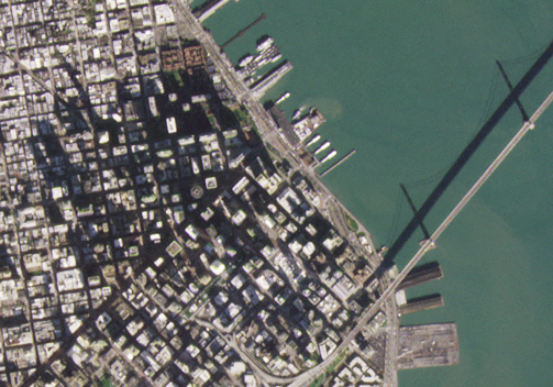
Earth imaging with satellites has just begun. Today, we get daily 2D images of the surface of the Earth where each pixel represents 25 square meters, and higher resolution images on much more sporadic timescales.
From this data we have found hundreds of valuable applications. Multibillion dollar companies have been created, famines have been averted, and wars have been avoided.
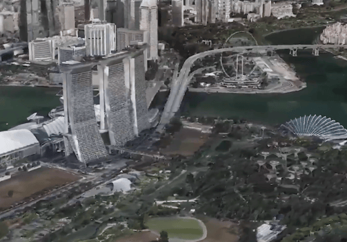
Now envision daily 3D mapping of the surface of the Earth, where each pixel represents 0.01 square meters, regardless of weather, with data accessible to all.


With the quality and wealth of data increased more than a thousand-fold, consider the potential applications this could enable. Consider themes like change detection, object identification, tracking, digital twin planning, and forecasting.
The comprehensiveness with which we could manage our civilisations, relations, resources, and our environment is astonishing. LFI believes that such knowledge could mitigate against humanity making uninformed mistakes of existential consequence.


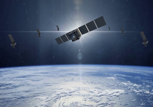
The advent of small satellites, precision formation-flight, and a new form of Synthetic Aperture Radar, coupled to rapid advancements in computation and image post-processing techniques, makes this vision readily achievable in the near-term.
LFI is supporting the development of the underlying technologies, and is actively working with partners to establish to realise this capability. Technology demonstration missions are scheduled through to 2025, with the first pilot demonstration mission expected in 2026.
LFI envisions utilising this technology for detailed cartography of solar system bodies and resources; a crucial prerequisite for expanding commerce and life deeper into space. To achieve this, LFI is supporting advancements in long-life and self-healing systems for centuries-long operations of spacecraft, aligning with deep-space activity timescales.
